
Find Stoneham Street Records
A useful by-address search begins with the physical address, not a conclusion about who occupies a home. The Board of Assessors keeps the assessment snapshot and parcel lead. From there, the map sheet and MassGIS layers show the land around it. The Middlesex South Registry of Deeds supplies the recorded land instrument. Each stop answers a narrower question, which keeps the chain accurate when a property is held by a trust, estate, or organization.
Use the current spelling first. Keep the street number, parcel identifier, result date, and book/page lead together. Then test the same address in older sources only after the modern parcel is clear. This sequence makes a by-street search useful for house history, estate research, civic questions, and checking a property-related claim.
- Search the address in Stoneham Patriot Properties WebPro and note the parcel, owner string, location, and any book/page lead.
- Open the assessor map or Municipal Mapper to place the parcel among nearby lots and town layers. A nearby polygon is not proof of a shared household.
- Search the cited book/page or party name in Massachusetts Land Records for Middlesex South, then read the document image.
- For a dated civic record, ask the Town Clerk about the current local voter-list request process rather than treating the individual voter tool as a street browser.
- For past occupants or businesses, compare a dated directory, annual report, newspaper notice, or Historical Society street listing with the address form used at that time.
Read Stoneham Assessment Results
The assessment portal is the practical front door for an address search. It supports parcel, street number and name, owner, book/page, building type, lot and value ranges, finished-area fields, beds/baths, neighborhood codes, and land-use codes. A street-name query can return multiple parcels, so record the number of result pages before selecting an individual card. The portal is a fiscal-year assessment snapshot, not a live occupancy roll or a title opinion.
Its list view showed Location and Owner. Location is the situs, meaning the physical parcel. It is not necessarily the place where an owner receives mail. The research did not verify a separate mailing-address label on Stoneham’s parcel-detail screen, so a by-address result should not be described as an owner’s current mailing address unless the current card itself makes that distinction.
| Stoneham field | Format | Required | Use in a street search |
|---|---|---|---|
| Parcel | Text | No | Targets one assessment account. |
| Street number/name | Text | No | Finds an address or browses a named street. |
| Owner | Text | No | Finds an owner-of-record string. |
| Book/Page | Text pair | No | Bridges the assessment card to a recorded instrument. |
| NHood and LUC | Portal selectors | No | Administrative classifications, not proof of a civic neighborhood. |
Note: Capture the assessment year with every result because a later deed or reassessment can change the record’s meaning.
Map Stoneham Street Parcels
Stoneham’s Assessor Maps page provides a map cover and Maps 1 through 27. The map cover uses a scale of one inch to 100 feet. These sheets help connect a parcel number or legal-description clue to the street pattern, particularly where an older document refers to a plan rather than a familiar house number.
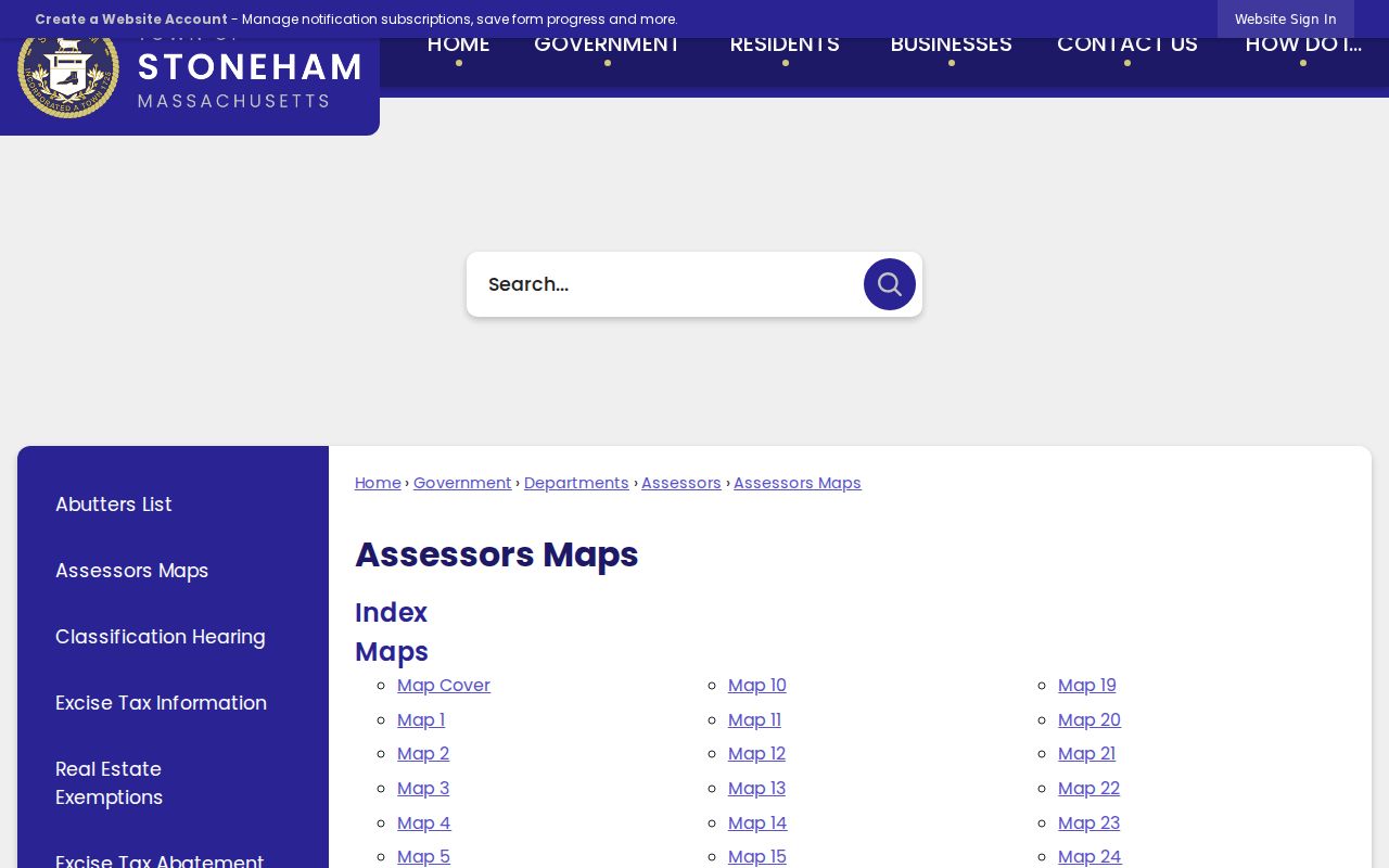
The map index is an orientation tool. Pair its sheet number with the assessment card and recorded plan before deciding that a historic lot matches a modern address.
The state’s Municipal Mapper adds public parcel and municipal geography where local layers are available. Search the place or map position, zoom to the parcel, and use the identify tools exposed by the current viewer. Zoning, open-space, district, and overlay layers can explain context. They do not create legal survey certainty, and the available Stoneham layers can change.
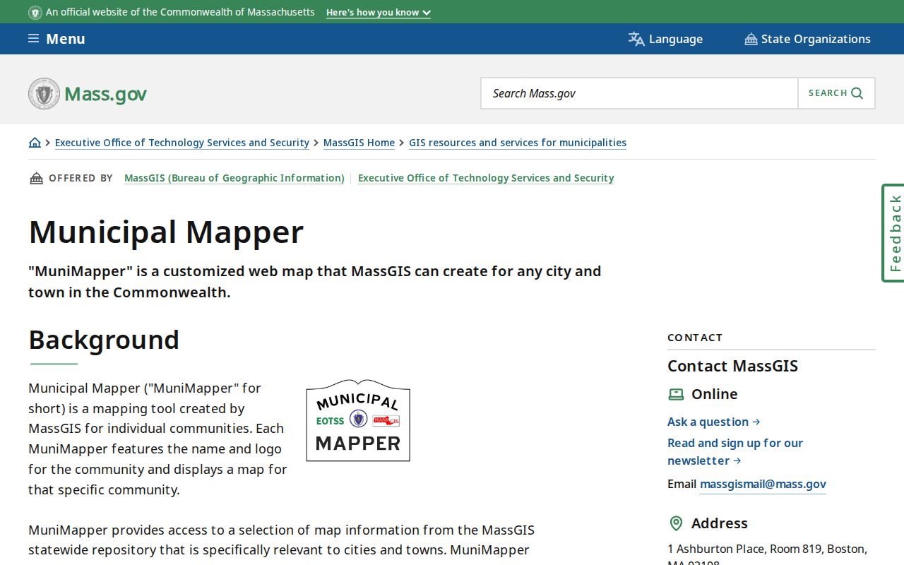
This municipal map view is most helpful after an address has been narrowed to a parcel. A survey or the responsible town office remains the right source for a legal boundary question.
Trace Stoneham Deed Links
Book and page are the bridge from an address result to the land-record trail. Middlesex County’s ordinary records are split among town, court, and registry custodians. Stoneham recorded land belongs in the Middlesex South district, not at a general county-clerk counter. The Registry’s online portal is efficient for name, book/page, document, date, and document-type searching. The recorded image is the record to read for the transfer itself.
A deed can identify grantor and grantee, recording date, document number, consideration when displayed, legal description, and prior references. Start with the assessment lead, open the instrument, then follow an earlier cited book/page. Mortgages, discharges, easements, liens, and plans can appear in the same chain, yet not every instrument transfers title. A lot or plan description may need an assessor-map comparison before it can be tied to a modern street number.
Middlesex South’s grantor-index announcement reports free online grantor indices for 1896 through 1973, announced October 21, 2025. That is a valuable historical lead, but the research did not confirm a matching complete grantee run for each year. Treat a grantor hit as one step, not a complete proof of ownership.
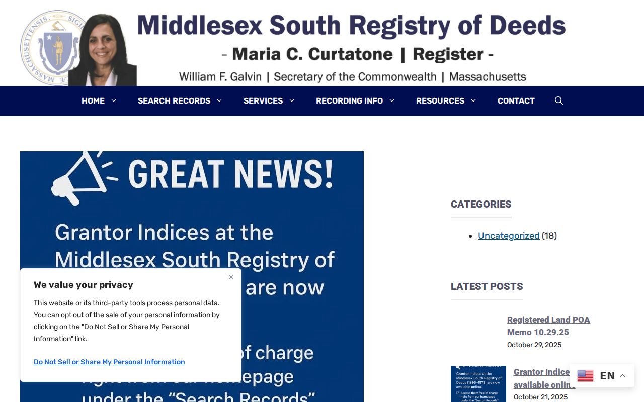
The index image shows why the document image matters. Names, year groups, and indexing conventions must be checked against the actual recorded instrument before a street-history conclusion is made.
Compare Stoneham Address Records
Different custodians record different parts of a Stoneham address story. The assessment card gives a current property snapshot. Maps give geometry and planning context. The registry gives a recorded land trail. A permit or code file can date an application, inspection, or alteration, although no stable public Stoneham permit field set was verified. The Town Treasurer/Tax Collector does not have a separately verified public tax-roll search in the research, so a defined record request is the safer route.
| Address record | Keeper | What it can show | Access route |
|---|---|---|---|
| Assessment card | Stoneham Assessors | Parcel, situs, owner string, physical details, sale and book/page leads | Free WebPro search |
| Map sheet and parcel layers | Assessors and MassGIS | Parcel geometry, map sheet, zoning or open-space context | Town PDFs and Municipal Mapper |
| Recorded instrument | Middlesex South Registry | Parties, date, document type, legal description, book/page | Online image, registry counter, or certified copy |
| Local voter information | Stoneham Town Clerk | Defined public fields if a local list is supplied under current rules | Narrow request to the Clerk |
| Permit or code file | Building, Planning, Health, or Fire | Dated application, permit, inspection, or code activity | OpenGov route or defined department request |
For a record the portal does not expose, use the Town’s Public Records Law information and make a narrow written request. Under M.G.L. c.66 §10 and 950 CMR 32, an agency generally responds within 10 business days, while production, review, redaction, and a fee estimate can take longer.
Use Stoneham Street Sources
Public sources do not use the same geographic language. A voting precinct is a civic boundary. An assessor NHood code is an internal assessment classification. A zoning district governs land-use rules. A postal ZIP is a delivery label. Each can be useful during by-street research, but none should be substituted for another. The town’s seven precincts, for example, are distinct from parcel and postal geography.
For historic work, street spelling and local context often matter more than a modern filter. Stoneham’s 1806 Medford–Andover road shifted the town center toward modern Main Street from the Summer/Pleasant area. Earlier directories, deeds, and newspapers can therefore use a place description that does not resemble a present-day street listing. Stoneham also separated from Charlestown in 1725, annexed parts of Malden and Reading in 1734, and transferred part to Melrose in 1853. Check the record-date jurisdiction.
- Parcel
- A land unit used by the assessor for an account and map reference.
- Situs address
- The physical location of the parcel, distinct from an owner correspondence address.
- Plat or plan
- A recorded map or subdivision drawing that can identify lots and layout.
- Criss-cross directory
- A historical address-to-name listing. No verified Stoneham reverse-directory run was located.
Test Stoneham Street Continuity
No official Stoneham street-renaming or house-numbering schedule was located. That gap matters. Do not transform an old address into a current one simply because the street name looks familiar. Compare the deed’s legal description, assessor-map sheet, a dated directory entry, a town map, and contemporaneous newspaper text. If the trail remains disputed, ask the Town Clerk, Assessors, Historical Commission, or Registry to confirm continuity from a dated primary record.
The Stoneham Public Library and Historical Society are useful fallback channels when online search stops. The library’s Stoneham Independent microfiche runs from July 1874 to the present, while the digital newspaper portal offers OCR and page images for historical searches. The Historical Society holds street listings, selected tax records, photographs, documents, and newspapers, often through volunteer assistance or research days. The historical collection itself is covered in more depth in the Stoneham Directory Book.
Note: Keep a small chronology with the date, address form, source, person or entity, record type, and confidence level.
Read Stoneham Map Geography
Stoneham’s map can look more fragmented than a simple street grid because roughly one-third of the town lies in the Middlesex Fells Reservation, including Spot Pond. Parcel, precinct, open-space, and postal layers will emphasize different parts of the town. The 2017 Open Space and Recreation Plan is useful orientation, but it is not a legal boundary or title map.
This distinction is especially useful when an address result is near park land, a cemetery, or a non-residential parcel. The assessment portal’s land-use codes can include municipal, utility, institutional, vacant, and open-space categories alongside residential ones. A full street result may therefore contain a mix of land types, not a row of households.
Stoneham Street Directory Limits
These records can lead to useful sources, but they cannot prove a complete current household. Current occupants and other household members are not reliably indexed through property rolls. The individual Massachusetts voter lookup is not a street-browse tool, and its protected fields are withheld. Utility and delivery customer data were not located as public Stoneham sources. A deed name can also be a trust, corporation, estate, or former owner rather than a person now living at the property.
When an address question reaches a record the town does not publish as an index, ask for the defined record rather than a custom person list. An address, parcel number, document number, date range, or permit number gives the custodian a workable scope. Written requests can ask for electronic delivery, a fee estimate, and reasonably segregable non-exempt portions. That approach respects the source system and preserves a trail another researcher can check later.
Use the original custodian’s access rules for voter, court, health, motor-vehicle, and protected-address information. Massachusetts maintains an Address Confidentiality Program for eligible survivors, and court impoundment or confidential-voter protections can limit a record. A missing address is not a prompt to combine unrelated sources until the protection is defeated. It may be an intentional limit.
Lawful use. Stoneham address records are for personal, lawful research and property history. Do not use them to stalk, harass, intimidate, or harm another person.