
Stoneham Previous Residents by Era
No one record shows every past resident of a Stoneham address. Land records are strongest for documented transactions and legal descriptions. Regional directories, annual reports, newspapers, and released census material can identify a dated household or institution. Building and local-history files may explain how the structure changed. Start with the source closest to the time period, then carry the address form and date into the next record set.
| Source | Years represented | Where held | What it can show |
|---|---|---|---|
| Middlesex South grantor indices | 1896–1973 announced online | MassLandRecords / Registry | A grantor-side recorded land trail; verify the deed image and grantee side. |
| Recorded deeds and plans | Complete online cutoff not verified | Middlesex South Registry and portal | Conveyances, legal descriptions, plans, mortgages, and related instruments. |
| Regional directory | 1909 scan; series metadata suggests 1909–1941 | Internet Archive / Henry M. Meek | Dated address-to-name or institution entries. |
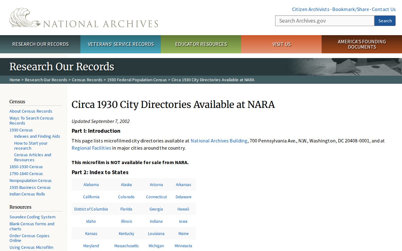
| NARA regional directory holdings | 1921–22, 1931–32, 1934 | National Archives guide | Stoneham entries in Wakefield regional volumes. |
| Stoneham Independent | July 1874–present on microfiche | Stoneham Public Library | Notices, advertisements, obituaries, and street context. |
| Annual reports | Selected 1859, 1870, 1871, 1878, 1887, 1892–2019 | Library and town archive | Dated taxpayer, official, civic, and public-works material. |
| Federal census | Released schedules under the 72-year rule | NARA and authorized library routes | Household enumeration at a census date. |
For a recent transaction, begin with the assessment record and its book/page lead. For an early twentieth-century household, begin with the closest available regional directory, then compare a deed and a released census record. For a building story, check newspapers, annual reports, permits, and the Historical Society. A source’s stated years are limits, not proof that each address appears in every issue or index.
Stoneham’s Four-Part Address Record Key
The strongest Stoneham house-history join is more than a person name. Pair the current parcel ID with an assessment book/page, the deed’s legal description, and a dated street listing. The Stoneham Patriot Properties portal supplies the assessment-side parcel, location, owner-of-record string, physical characteristics, and book/page lead. It is a fiscal-year snapshot, not proof of present occupancy or final title.
Next, use the book/page or document information at MassLandRecords for Middlesex South to read the recorded instrument. A legal description may identify a lot or plan rather than a familiar street number. That is why an old listing should be tied to assessor maps and recorded plans before it is assigned to a modern address. Keep a simple chronology with date, source, address form, person or entity, record type, and confidence level.
The address has three meanings that should not be merged. A situs is the physical parcel location. A mailing address is where correspondence goes and can be elsewhere. A legal description is the deed-defined lot, plan, or boundary language. The assessor list view showed Location and Owner, but not a separate mailing address, so a missing mailing field should not be inferred or republished.
Note: A dated parcel ID, deed citation, legal description, and street listing make a much stronger historical match than a name alone.
Previous Residents and the 1896–1973 Index
On October 21, 2025, the Middlesex South Registry announced that grantor indices from 1896 through 1973 were available online without charge. That change gives Stoneham researchers a practical historical land-record lead, especially after a current deed or assessment book/page identifies a party name. The announcement confirms a grantor index. It does not confirm a matching historical grantee run for every year.
A grantor is the party conveying an interest. A grantee is the party receiving it. A grantor-only search cannot establish a complete ownership chain because it may not show when someone acquired the property. Read the actual image, use the prior instrument reference, and search both sides where the live portal or registry records allow. Mortgages, discharges, easements, plans, and liens can appear in the same research path without transferring title.
The Registry offers more than the portal. Its office information describes research access, certified copies, and procedures for in-person, mail, drop-off, and e-recording work. Online copies are free; the Registry lists certified copies at $1 per page. For a date or index gap, ask the Registry which book, index, or registered-land record series applies rather than assuming a missing web result means no record exists.
Trace Stoneham Previous Residents Through Deeds
A deed chain follows instruments backward from a current parcel, but it must be read as a title trail, not a roster of occupants. The assessment card supplies a starting parcel and book/page. The recorded deed identifies the named parties, recording date, document type, and legal description. Follow the prior deed reference, then test its party name in the proper index. Stop where the available online series ends and switch to the Registry counter, archival guidance, or older books and indices.
- Open the assessment record and save the parcel ID, situs, owner-of-record string, book/page lead, and retrieval date.
- Search the book/page or party at the Middlesex South portal, then open the actual recorded image.
- Record the grantor, grantee, document number, recording date, document type, and legal description.
- Use the earlier book/page or cited instrument to locate the prior transaction, checking the relevant party role each time.
- When a deed uses a lot or plan, compare it with assessor map sheets and recorded plans before equating it with a current street address.
- Move to Registry or archival assistance when a date, image, or index series is not available online.
- Grantor
- The party conveying an interest in a recorded instrument.
- Grantee
- The party receiving the conveyed interest. Party labels must be read from the deed itself.
- Chain of title
- A dated sequence of instruments used to trace recorded transfers. It is not the same as a list of everyone who occupied a property.
- Legal description
- Deed language that identifies the land by lot, plan, boundaries, or another title reference, often more durable than a postal label.
Stoneham Address Records Across Time
Older Stoneham sources may not use a current address form. The town history reports that the 1806 Medford–Andover road shift moved the town center from the Summer/Pleasant area toward modern Main Street. A directory, newspaper, or deed can therefore organize a place around an older road, landmark, mill, brook, station, or institution rather than a modern street number. Search alternate spellings and nearby place names before concluding that an address disappeared.
Municipal boundaries also affect custody. Stoneham separated from Charlestown in 1725, added parts of Malden and Reading in 1734, and gave a portion to Melrose in 1853. For an early record, test the historical municipality and repository for the date. No verified Stoneham street-renaming or house-numbering schedule was located, so a claimed conversion needs a dated primary source, such as a deed legal description, official map revision, town street listing, or contemporary notice.
The railroad reached Farm Hill in 1861 and a station near Pine and Franklin in 1863. Those landmarks can be useful search terms in old newspapers and directory material. They describe historical record geography, not a shortcut for identifying current households.
Stoneham House-History Records and Maps
The Stoneham Historic House Marker Program provides a civic route for well-documented property history. Its page discusses structures at least 50 years old and the usual 75-year character of qualifying structures. The application is free, while the physical marker has a cost. Historical Commission volunteers can help connect a property to deed and census research or the applicant’s purchase information. That assistance is heritage research, not a title opinion.
The Stoneham Historical Society keeps photographs, documents, newspapers, street listings, selected tax records, and other town material. Its museum and library at 36 William Street use volunteer access and periodic research days. The published request process calls for a focused question and notes a $35 non-refundable initial request; extended research is priced separately. Confirm current availability and fees before sending a request or visiting.
For building context, the Library of Congress record describes a Stoneham fire-insurance map from April 1924 with 18 sheets. Its item interface carries an online-availability restriction. A Sanborn sheet may help compare historical footprint or use after lawful access through the Library of Congress or a partner repository. It is a historical insurance map, not a legal survey. The Town Building Department identifies an OpenGov route, but no stable public permit-index field set was verified. Request a defined address, date range, and record type from the department when needed.
Stoneham Registry Research Fallback
When an older Stoneham deed trail cannot be completed in the online portal, the Middlesex South Registry is the next source, not a generic county-clerk office. The registry lists research hours Monday through Friday, 8 a.m. to 4 p.m., at 208 Cambridge Street in Cambridge. Its office information distinguishes research access from recording hours and notes in-person, mail, drop-off, and e-recording routes. Check the current office instructions before travel or mailing original documents.
Bring the strongest starting citation: a book and page, document number, recording date, party name, legal description, or plan reference. Ask for the applicable book, index, or registered-land series when a web result stops. A historical gap in one portal field does not establish a gap in registry custody, and a certified copy is a different product from a free online research image.
Stoneham Past Households in Dated Records
Deeds tell a property story, while historical listings and released census schedules can supply the household layer. The Stoneham Directory Book gathers the regional directory sources without treating them as current lists. Match an address as printed in an edition, then compare the next available edition and a census year that has been released. A person’s disappearance can reflect a move, a change in listing style, a missed edition, or another gap. It is not a death finding.
The image below comes from the National Archives city-directory holdings guide. It points to the regional Wakefield volumes that include Stoneham for selected years.
Use a sequence of dated sources: directory entry or annual report, released census schedule, deed or plan, then a newspaper issue for a specific event. The Stoneham newspaper portal is searchable, while library microfiche is the image fallback for OCR errors. Cemetery records, probate files, and obituary notices can close a historical research question, but their access rules and source dates still matter.
The image below links to the Stoneham town archive, whose keyword, category, time-period, and date-range controls can locate annual reports and other municipal history.
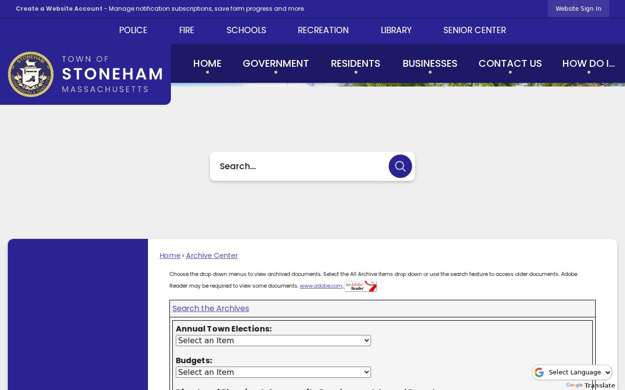
Town archive results are best used with their title and date saved alongside the directory or deed lead. That preserves the record trail when a deep session link changes or when an old address needs to be tested against a different street spelling.
Lawful use. Stoneham previous-resident research is for family history, house history, estate questions, and civic context. Do not use a dated record to track, contact, or harass a living person.