
Stoneham ZIP Code Coverage
USPS address lookup supplies the strongest address-level answer for Stoneham. The verified post-office association is 02180. It serves Stoneham delivery addresses associated with the Stoneham Post Office, but every property should still be checked by address. The research found nearby map-polygon references to 01801, 01880, and 02155. Those are not verified as general Stoneham delivery ZIPs, so they belong in a caution column rather than a list of townwide postal coverage.
| Postal label | Research coverage | Post-office context | Use with care |
|---|---|---|---|
| 02180 | Stoneham delivery addresses associated with the Stoneham Post Office | Stoneham Post Office | Verify each address with USPS. |
| 01801 | Nearby or overlapping Woburn polygon reported by secondary mapping | Woburn-area postal geography | Not confirmed as general Stoneham delivery coverage. |
| 01880 | Nearby or overlapping Wakefield polygon reported by secondary mapping | Wakefield-area postal geography | Use USPS for an exact address. |
| 02155 | Nearby or overlapping Medford polygon reported by secondary mapping | Medford-area postal geography | Do not treat as a general Stoneham ZIP. |
No official source located a Stoneham PO-box-only ZIP, unique-institution ZIP, split history, or realignment date. That absence is important. The safest result names 02180 as verified and describes the other values as unconfirmed mapping context.
Verify Stoneham Postal Delivery
USPS postal lookup is the delivery check for a particular street address. Enter the street address, city, and state, then preserve the returned ZIP+4 when precise mail routing matters. USPS treats a ZIP as a delivery construct. It does not certify town jurisdiction, parcel ownership, or the people associated with an address.
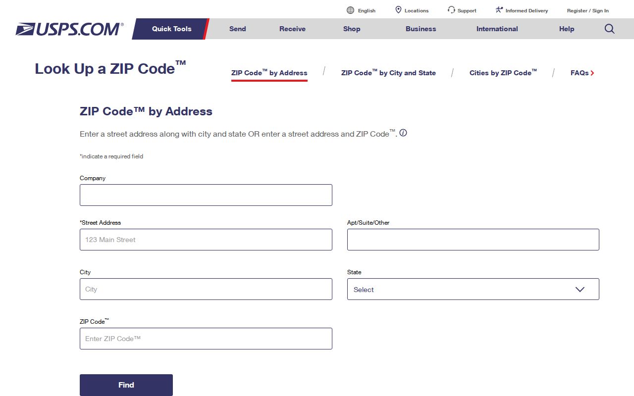
The address lookup screen belongs at the start of a postal check. Its result should then be compared with the address recorded by the town or registry, because an older document can use a different street form or legal description.
USPS identifies the Stoneham Post Office at 345 Main Street, Stoneham, MA 02180-9998, with a listed phone of 781-438-3124. Its published service hours are a snapshot and should be checked before a visit. The physical post office confirms a local postal association, yet it does not prove that every map polygon touching the town is a Stoneham delivery area.
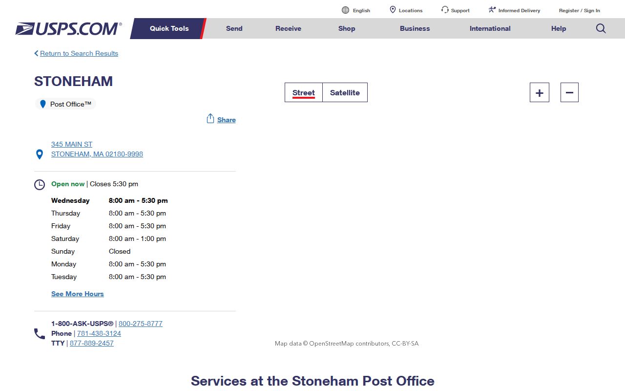
The postal location record supports the verified 02180 connection. Address-by-address USPS results remain the appropriate check when a map pin and a mailing label disagree.
Use Stoneham ZIP Search Keys
A five-digit postal value can be a required search key without becoming a ZIP-wide directory. Massachusetts’ individual voter lookup requires a residential ZIP along with a person’s registered first name, last name, and date of birth. It returns limited registration and polling information. It does not browse all voters in a ZIP, and a failed result can reflect spelling, a previous ZIP after a move, recent registration, status, or confidential-record protection.
| Voter lookup field | Type | Required | Stoneham ZIP use |
|---|---|---|---|
| First Name | Text | Yes | Use the registered form of the name. |
| Last Name | Text | Yes | Exact registered spelling matters. |
| DOB Month, Day, Year | Three dropdowns | Yes | Part of the required individual lookup. |
| Residential ZIP Code | Five-digit text | Yes | Try a former ZIP only when the person’s own information supports it. |
| Acknowledgement | Checkbox | Yes | The state requires agreement before the bounded search. |
Massachusetts Voter Registration Search and its official search tips make the distinction clear. A local voter list is separately requested from the Stoneham Town Clerk under current statutory rules, with production cost and protected fields handled by the Clerk. The statewide file is not a general public download.
Search Stoneham ZIP Records
The best workflow uses postal geography to verify an address, then switches to the record system keyed to the real question. The visible Patriot Properties search did not show a ZIP field. It supports parcel, owner, street, street number, book/page, value, physical fields, NHood, and LUC instead. Municipal Mapper can compare map layers, but a Stoneham ZIP-filter control was not verified. Town archives and local-history catalogs use keyword, title, date, or archive category rather than ZIP.
- Confirm the mailing ZIP for the exact address with USPS, and retain the result date.
- Use the street address or parcel in the Stoneham assessor portal to find the physical situs and assessment record.
- Check Municipal Mapper or a town map for parcel, municipal, zoning, and open-space context.
- Use the address, book/page, or parcel lead in the appropriate town or Middlesex South record system.
- When the question is about every parcel on a named road, continue with the Stoneham Street Directory rather than assuming the ZIP is a street-level filter.
Note: ZIP is a useful identifier for a precise lookup, not proof that all addresses sharing a postal label belong to the same municipal record set.
Read Stoneham Postal Geography
MassGIS five-digit ZIP data is helpful for map comparison. The state explains that ZIP polygons come from postal geography and are difficult to represent with complete certainty. Its CITY_TOWN field supports a mapping comparison, not a guarantee that each polygon edge is a delivery boundary or a legal town line.
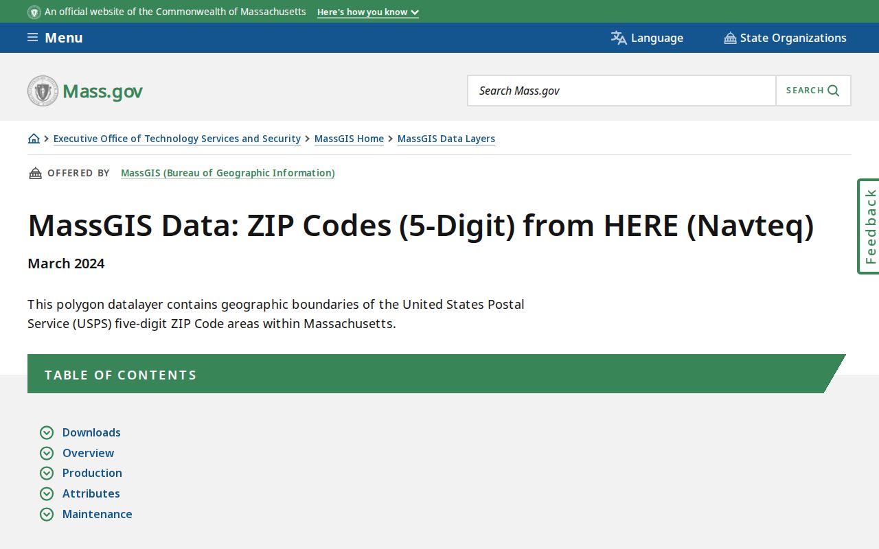
The MassGIS page is most useful for understanding why a nearby ZIP polygon can touch Stoneham without establishing general delivery coverage. Use USPS for mail routing and the appropriate survey or municipal evidence for a legal boundary.
Stoneham’s geography also contains a large open-space component. The town says roughly one-third of its area lies in the Middlesex Fells Reservation, including Spot Pond. That helps explain why parcel, park, precinct, and postal maps can have very different visual shapes.
Stoneham ZIPs and City Limits
Postal ZIPs, town boundaries, voting precincts, assessor NHood codes, zoning districts, and parcels answer different questions. Stoneham has seven election precincts effective December 31, 2021, but precincts are civic units rather than postal zones. The assessor’s NHood labels, including examples such as Bear Hi, Brook Meadow, Pine Ind, and Stoneham Square, are internal classifications. They should not be displayed as official neighborhood boundaries unless the town defines them separately.
Municipal Mapper can combine town and parcel geography where layers are available. The state’s municipal data is authoritative for mapping purposes, while appropriate legal or survey evidence is still needed to establish a legal boundary. That is the right level of caution when a Stoneham postal label and a visible map edge seem to disagree.
Separate Stoneham Address Types
One parcel can carry three address descriptions. The situs is the physical property location, usually the assessor’s Location and map position. A mailing address is where tax or owner correspondence goes and may be outside Stoneham. A legal description is the deed’s lot, plan, metes-and-bounds, or other title language. It may not include a modern street number or a postal label at all.
- ZIP
- A postal routing label used to direct mail, not a municipal boundary.
- ZIP+4
- An added delivery segment returned by USPS for a more precise mail-routing result.
- PO-box ZIP
- A ZIP assigned for post-office-box mail. No Stoneham example was verified in the research.
- Unique ZIP
- A ZIP serving one institution or organization. No Stoneham example was verified in the research.
- Carrier route
- A postal delivery grouping that should not be treated as a resident roster or town boundary.
Do not infer Stoneham residence from a correspondence ZIP, or assume a legal description establishes a current postal label. Compare each address type with the date and custodian that produced it.
Trace Stoneham ZIP History
Postal verification cannot resolve every historical address difference. Stoneham’s town center shifted toward modern Main Street after the 1806 Medford–Andover road, while older references can use Summer/Pleasant context. The town separated from Charlestown in 1725, annexed parts of Malden and Reading in 1734, and transferred part to Melrose in 1853. An older directory or deed may therefore belong to a different jurisdiction or describe a place in terms that predate a modern postal label.
For a historic address, test spelling, abbreviation, and directional variants. Then compare a dated directory or newspaper entry with the deed’s legal description, map sheet, and town record. The 1909 regional directory, library microfiche, town archive, and Historical Society collection are better historical channels than a modern ZIP search.
No separate Stoneham E911 addressing office or renumbering project was verified in the research. For a new, disputed, or changed address, ask the town department responsible for the parcel or permit, then verify delivery through USPS. Keep the historic source date beside both address forms. A deed may preserve a lot or plan description long after a street label changes, while an old directory may organize the same place by a road, station, mill, or nearby landmark. Preserve the original spelling when the evidence does not establish a reliable modern equivalent.
Stoneham ZIP Directory Limits
A postal result can verify geography and route a researcher to an appropriate custodian. It cannot supply a ZIP-wide resident roster. No official Stoneham school-zone, utility-customer, or ZIP-wide person finder was verified. A postal label also cannot prove current occupancy, household membership, ownership, or an address’s legal municipal status.
Respect protected records. Confidential voters, Address Confidentiality Program participants, impounded court records, motor-vehicle information, and other protected fields may be absent by law. An incomplete search result should be treated as a limit, not a reason to build a profile from unrelated records. Use dated public material for lawful personal research, civic transparency, and historical questions.
Postal caution. Verify a delivery ZIP with USPS and verify a municipal or parcel question with the record custodian that holds it.